Las Vegas’ Wettest Monsoon Season In Ten Years
The National Weather Service is reporting that this is the wettest monsoon season in the Las Vegas valley in ten years! Some areas saw downpours adding a half-inch of rain in ten minutes during Thursday night’s slow-moving storm.
CBS News posted a video on You Tube of some travelers trying to get through moving water on the Las Vegas Strip Thursday night.
Planet Hollywood actually had rain pouring through their roof into the casino during Thursday’s storm too. Check out this video posted by CBS News in Los Angeles.
Thunderstorms are possible each day in the seven-day forecast, as monsoon season continues for another six weeks or so here in Southern Nevada. According to cnn.com, we have had 1.28-inches of total rainfall in the valley this year. Back in 2012, we received 3.63 inches of total rainfall during monsoon season. The wettest monsoon season on record occurred in 1984, totaling 4.16 total inches of rainfall.
Driving or walking through standing or rushing water can be deadly. According to the Clark County Regional Flood Control District, trying to walk or stand in six inches of moving water can knock you off your feet. If you try to drive through six inches of water, even if it’s still water, it can easily make you lose control of your vehicle. I didn’t realize this, but according to CCRFCD, “nearly half of flood deaths occur in cars, trucks and SUVs.” That fact will certainly make me think twice before I travel through a big puddle after one of those heavy thunderstorms. If you have kids who love to play outdoors, make sure they know to avoid playing in or near storm drains, channels, washes and detention basins. Per CCRFCD’s website, “water can flow through this network at any time,” even when it’s not raining.
“Turn around, don’t drown.” It’s good advice this time of year.
Let’s be friends! 👍 Follow us on all social media platforms:
Twitter: https://twitter.com/kklz963
Instagram: https://www.instagram.com/kklz963/
Facebook: https://www.facebook.com/kklz963/
Larry Martino is the long-time Afternoon Drive personality on 96.3 KKLZ. The views and opinions expressed in this blog are those of Larry Martino and not necessarily those of Beasley Media Group, LLC.
25 States With The Most Historic Sites At Risk Of Flooding
Because of the deterioration and fragility of historical buildings, as well as long-term degradation of the natural environment around these structures, historic sites are often at serious risk of flooding. Stacker identified historic buildings of national significance across the U.S. located in census tracts with very or relatively high risk of flooding, using data from FEMA’s National Risk Index and the National Register of Historic Places. The National Park Service outlines six criteria for what makes a historic building on the registry nationally significant, a less rigorous designation than being considered a National Historic Landmark. FEMA calculated the risk of flooding for each census tract by combining geospatial and historic flood-event data from the National Flood Insurance Program and NOAA. For each state, a maximum of three historic sites are listed in order of their flood risk, though many states on this list have more at-risk sites in total. Colorado, Connecticut, and Idaho did not have nationally significant sites on the registry located in high-risk flood regions; as such they are absent from this list.
#25. Oregon
JessStryker // Wikimedia Commons
– Historically significant buildings with risk of river flooding: 7
— Gold Beach Ranger Station, Gold Beach (very high risk)
— Cedar Guard Station No. 1019, Cave Junction (relatively high risk)
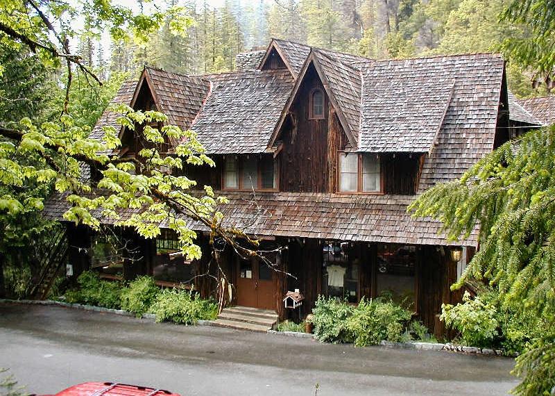
— Oregon Caves Chateau, Oregon Caves National Monument (relatively high risk)The Oregon Caves Chateau opened in 1934 after being constructed with the help of the Civilian Conservation Corps, a Depression-era relief program which was part of FDR’s New Deal. The Chateau, standing at six stories tall, was built into a steep ravine, with much of the removed rock being repurposed to blend the building into the mountainside. The Chateau was nearly destroyed in a 1964 flood, and had to be largely rebuilt by Gust Lium, the original architect.
#24. Ohio
Nyttend // Wikimedia Commons
– Historically significant buildings with risk of river flooding: 7
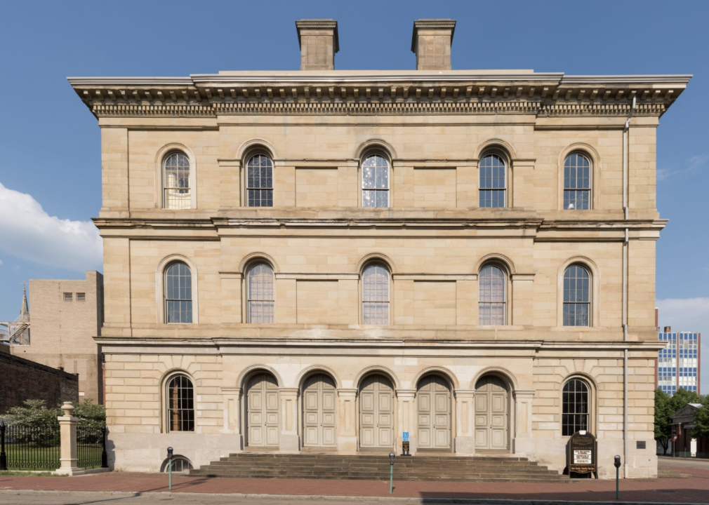
— John P. Parker House, Ripley (very high risk)
— Manasseh Cutler Hall, Ohio University, Athens (relatively high risk)
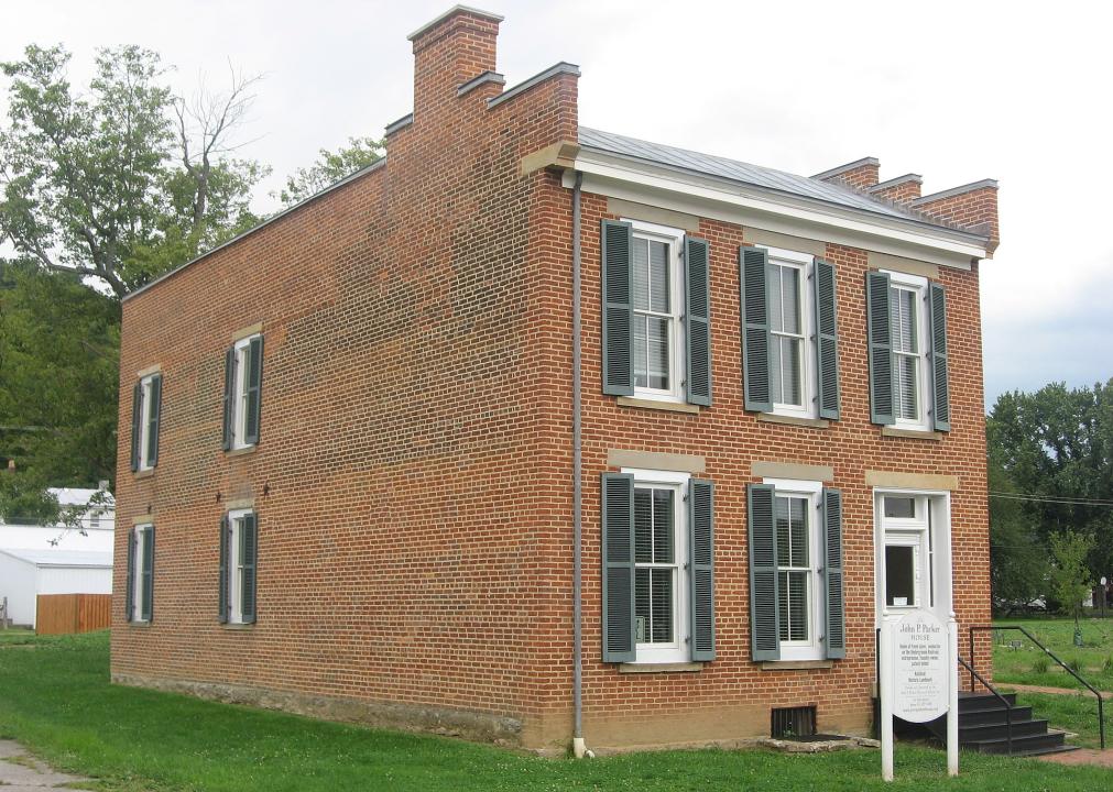
— Benjamin Lundy House, Mt. Pleasant (relatively high risk)John Parker, a former enslaved person and inventor who aided enslaved people trapped in the “borderlands” of Kentucky, lived in Ripley, Ohio, where his home was a stop on the Underground Railroad starting in the 1850s. Ripley is at severe risk of flooding over the next 30 years, with a greater flood risk overall than 95% of all neighborhoods in the state.
#23. Montana
Jon Roanhaus // Wikimedia Commons
– Historically significant buildings with risk of river flooding: 7
— Administration Building, Fort Peck (relatively high risk)
— Employee’s Hotel and Garage, Fort Peck (relatively high risk)
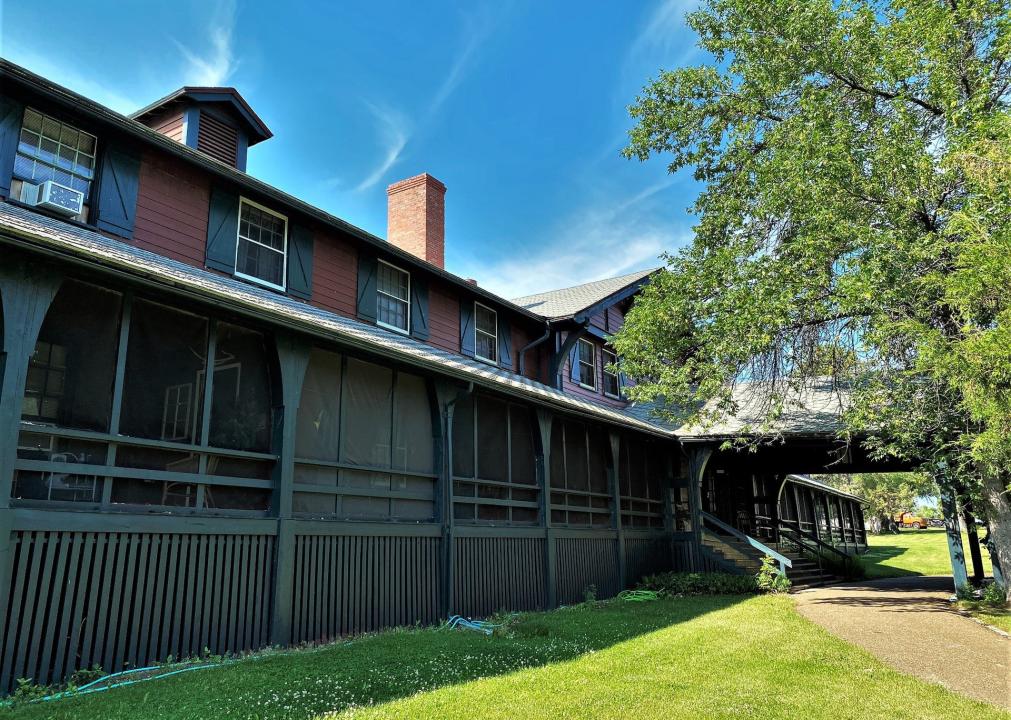
— Garage and Fire Station, Fort Peck (relatively high risk)The Fort Peck Dam and surrounding buildings were constructed during the 1930s as a New Deal public works project, and were built by as many as 10,500 workers. Flooding in Montana sometimes occurs when snow from the Rocky Mountains rapidly melts due to above-average spring temperatures and larger-than-usual snowfall during the winter.
#22. Indiana
Nyttend // Wikimedia Commons
– Historically significant buildings with risk of river flooding: 7
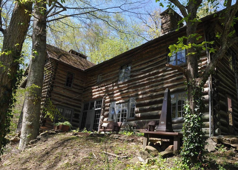
— First Christian Church, Columbus (relatively high risk)
— George Bentel House, New Harmony (relatively high risk)
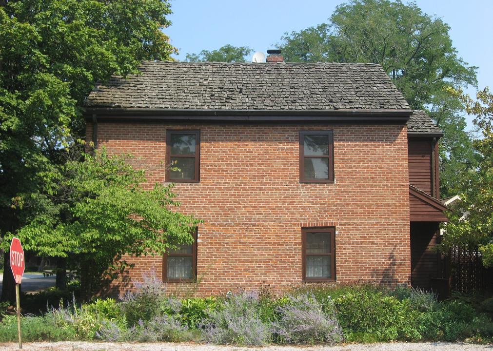
— Mattias Scholle House, New Harmony (relatively high risk)The George Bentel House is one of a few houses remaining from when the Harmonists, a German religious group who immigrated to the U.S. to avoid persecution, arrived in Indiana in 1814. The Harmonists sought to create a utopian model society with a self-sufficient system of commerce and public facilities, though this society dissolved by 1828. The town of New Harmony sits on the bank of the Wabash River, which spans the entirety of Indiana and is the largest river in the state. This proximity has exposed the town to floodwaters as river levels continue to rise.
#21. Arkansas
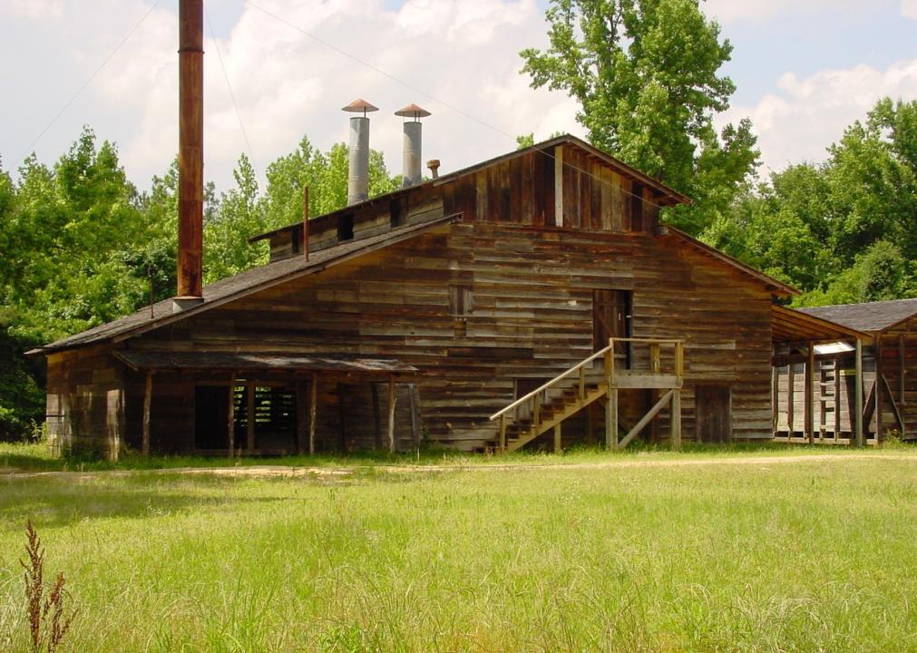
Arkansas State Parks
– Historically significant buildings with risk of river flooding: 7
— Confederate State Capitol, Washington (relatively high risk)
— Goodlett Gin, Washington (relatively high risk)
— Ferguson House, Pine Bluff (relatively high risk)The Goodlett Gin is the only known operational steam-powered cotton gin in the country. It is now located in Historic Washington State Park, where it serves as a nonoperating exhibit. Arkansas experienced the most flood-related disasters out of any state with 17 between the years 2008-17, according to a Pew report on FEMA information.
#20. Louisiana
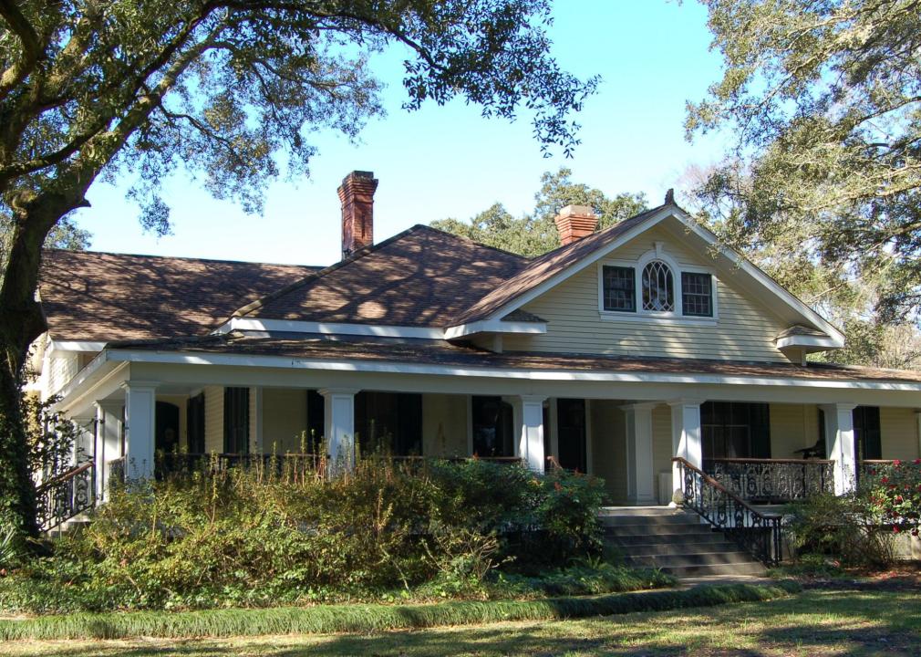
Z28scrambler // Wikimedia Commons
– Historically significant buildings with risk of coastal flooding: 1
— Southdown Plantation, Houma (relatively high risk)
– Historically significant buildings with risk of river flooding: 7
— Shadows-on-the-Teche, New Iberia (very high risk)
— Maison Olivier (Acadian House), St. Martinville (very high risk)
— Robert Penn Warren House, Prairieville (relatively high risk)Built in 1905, the Robert Penn Warren House, also known as Twin Oaks, belonged to the famed poet and novelist starting in 1941. Warren lived there while teaching at Louisiana State University before he left to teach at the University of Minnesota. Unsurprisingly, the state of Louisiana faces the highest flood risk and has experienced some of the most catastrophic flood damage of any U.S. state.
#19. Wisconsin
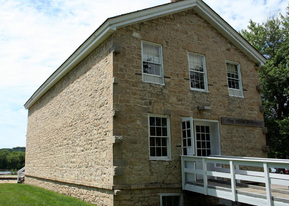
Jonathunder // Wikimedia Commons
– Historically significant buildings with risk of river flooding: 8
— Astor Fur Warehouse, Prairie du Chien (relatively high risk)
— Michael Brisbois House, Prairie du Chien (relatively high risk)
— Dousman Hotel, Prairie du Chien (relatively high risk)A fur-trading hub in the 18th century, Prairie du Chien became home to Jacob Astor’s American Fur Company, which dominated the Upper Mississippi fur trade. Prairie du Chien experienced such a destructive flood in 1965 that an entire neighborhood—what later became known as St. Feriole Island—had to be relocated to the mainland.
#18. Missouri
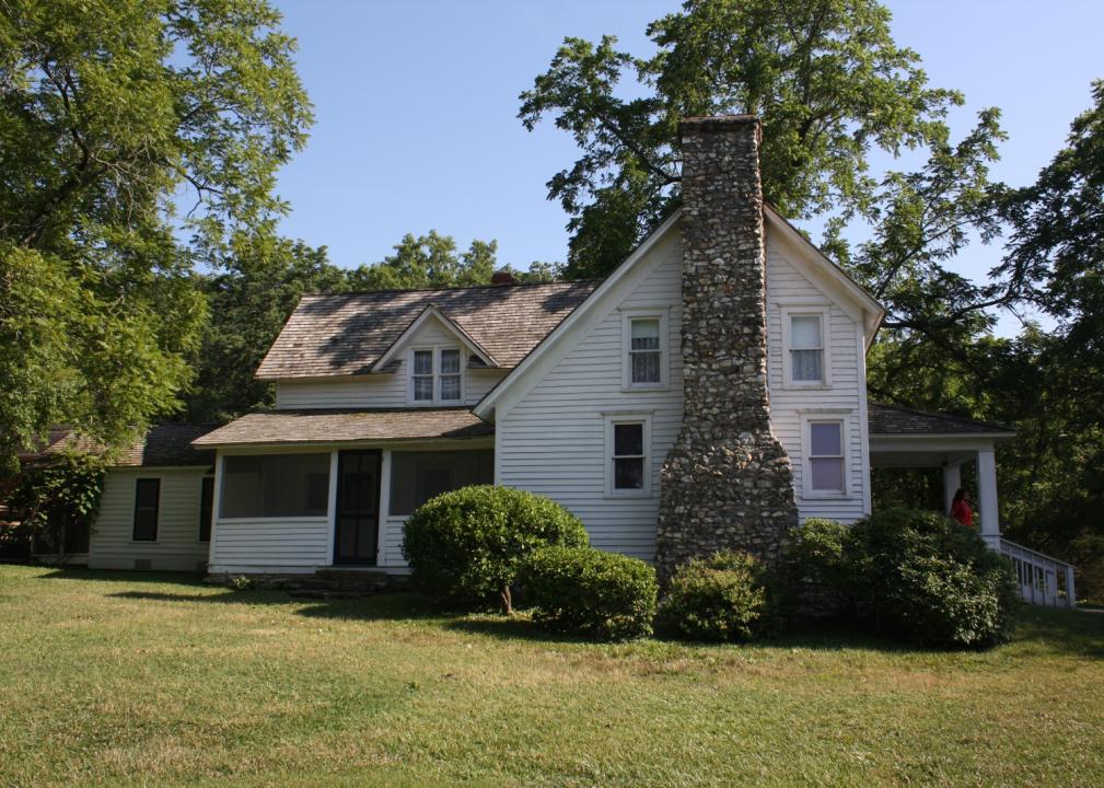
TimothyMN // Wikimedia Commons
– Historically significant buildings with risk of river flooding: 8
— Casa Alvarez, Florissant (relatively high risk)
— Administration Building, Missouri State Fruit Experiment Station, Mountain Grove (relatively high risk)
— Laura Ingalls Wilder House, Mansfield (relatively high risk)Laura Ingalls Wilder began writing her acclaimed “Little House on the Prairie” series at the age of 65 while living at Rocky Ridge Farm. Now, the Laura Ingalls Wilder House serves as a museum that houses original manuscripts and other artifacts of Wilder’s life. Because of the state of Missouri’s positioning on the Mississippi and Missouri Rivers, it is a particularly flood-prone state, causing ecological and economic disasters throughout several centuries.
#17. South Carolina
Timothy Brown // Wikimedia Commons
– Historically significant buildings with risk of river flooding: 10
— Fort Fremont Hospital, Frogmore (relatively high risk)
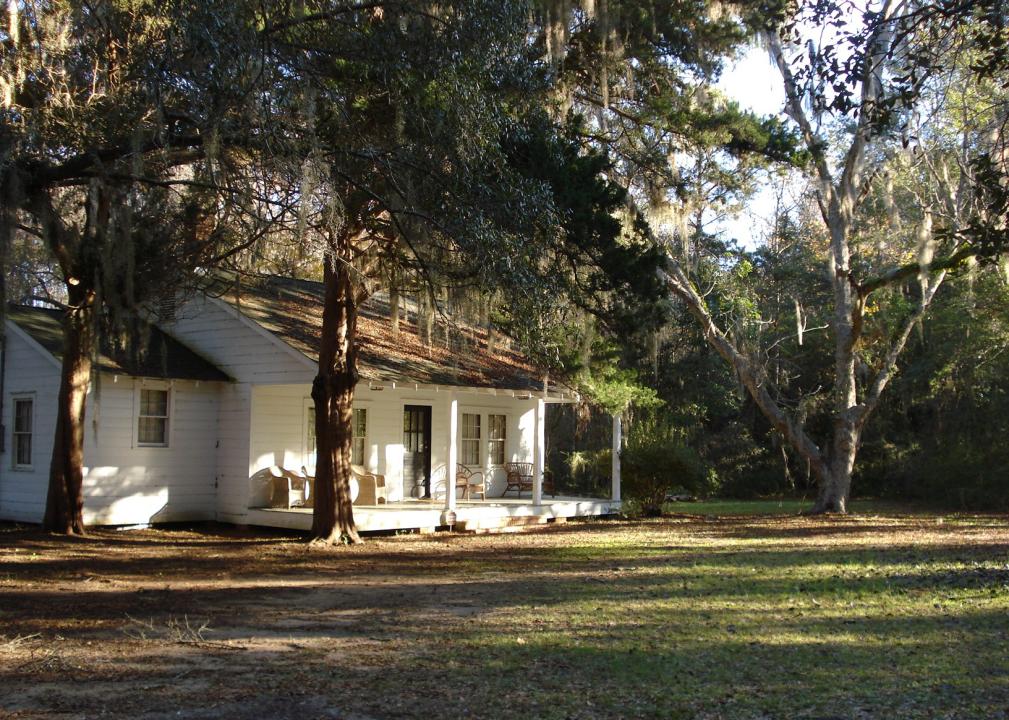
— The Oaks, Frogmore (relatively high risk)
— Robert Simmons House, Frogmore (relatively high risk)The Oaks is a plantation house on Saint Helena Island famous for its occupation by the Union Army during the Civil War. The house served as headquarters for the Port Royal Experiment, in which Northerners attempted to create a new Southern economic and political system separate from a system of slavery. After the war, The Oaks was turned into Penn Center, the first school in the South for formerly enslaved people, which still operates as an educational center and monument to Black history today.
#16. New Mexico
TDBurleigh // Wikimedia Commons
– Historically significant buildings with risk of river flooding: 10
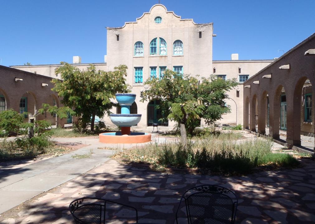
— Illinois Brewery, Socorro (very high risk)
— Val Verde Hotel, Socorro (very high risk)
— Sagrada Familia de Lemitar Church, Los Dulces Nombres, Lemitar (very high risk)Now called the Hammel Museum, the former site of the Illinois Brewing Company contains exhibits on early Socorro and documents the history of the brewery. During Prohibition, the brewery became a soda bottling facility. A state of emergency was announced in Socorro as a result of severe flooding in late 2021.
#15. California
Missvain // Wikimedia Commons
– Historically significant buildings with risk of river flooding: 10
— Charles M. Pratt House, Ojai (relatively high risk)
— Oak Grove Butterfield Stage Station, Oak Grove (relatively high risk)
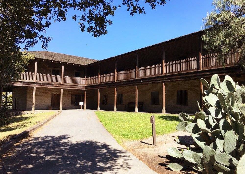
— Petaluma Adobe, Petaluma (relatively high risk)Petaluma Adobe was the residence of Rancho Petaluma, a massive agricultural empire run by the powerful General Mariano Guadalupe Vallejo from 1834-46, before the cession of California from Mexico to the U.S. in 1848. A major flood event at Petaluma Adobe in 2005 revealed a hidden deposit of Mexican Republic-era materials, some associated with the smallpox epidemic of 1837-39. Some of the more valuable items recovered suggest the previous owners were of high status.
#14. Alaska
JERRYE & ROY KLOTZ MD // Wikimedia Commons
– Historically significant buildings with risk of river flooding: 10
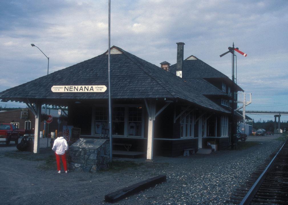
— Nenana Depot, Nenana (very high risk)
— St. Nicholas Chapel, Ekuk (relatively high risk)
— Transfiguration of Our Lord Chapel, Nushagak (relatively high risk)The Nenana Depot is a railroad station built in 1922 to aid in transporting goods along the Yukon River. Between 1987 and 2017, it housed the Alaska State Railroad Museum, and there are plans to reopen it again; restoration work is ongoing. According to the Alaskan Department of Natural Resources, nine out of 10 Alaska Native villages experience flooding and erosion from coastal storm surges, ice jams, or runoff from snowmelt.
#13. Iowa
RifeIdeas // Wikimedia Commons
– Historically significant buildings with risk of river flooding: 11
— George B. Douglas House, Cedar Rapids (very high risk)
— Knapp-Wilson House, Ames (relatively high risk)
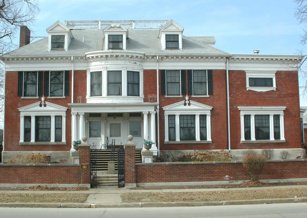
— Old Capitol, Iowa City (relatively high risk)In the carriage house of the George B. Douglas House, the artist Grant Wood painted “American Gothic” in 1930. Prior to Wood’s residence there, George B. Douglas, whose company would go on to become Quaker Oats, lived in the main house. Cedar Rapids has seen catastrophic flooding over the last two decades, particularly in 2008; flooding and tornadoes combined to result in FEMA’s sixth-largest emergency declaration, totaling $848 million in public recovery assistance.
#12. Washington
Joe Mabel // Wikimedia Commons
– Historically significant buildings with risk of coastal flooding: 9
— Arctic Building, Seattle (very high risk)
— Olympic Hotel, Seattle (very high risk)
— Klipsan Beach Life Saving Station, Klipsan Beach (relatively high risk)
– Historically significant buildings with risk of river flooding: 5
— Hulda Klager Lilac Gardens, Woodland (relatively high risk)
— La Wis Wis Guard Station No. 1165, Packwood (relatively high risk)
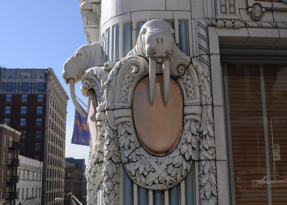
— North Fork Guard Station No. 1142, Randle (relatively high risk)Designed for the use of a private club for wealthy tycoons associated with Alaska’s Klondike Gold Rush, the Arctic Building is adorned with vibrant terra cotta facing and fantastical walrus heads. These days, the building serves as a luxury hotel. According to a study by Zillow, roughly 27,300 homes could flood by the end of the century if sea levels rise at least 6 feet.
#11. North Carolina
Epicjeff // Wikimedia Commons
– Historically significant buildings with risk of coastal flooding: 1
— Palmer-Marsh House, Bath (relatively high risk)
– Historically significant buildings with risk of river flooding: 13
— Market House, Fayetteville (relatively high risk)
— All Souls Episcopal Church and Parish House, Asheville (relatively high risk)
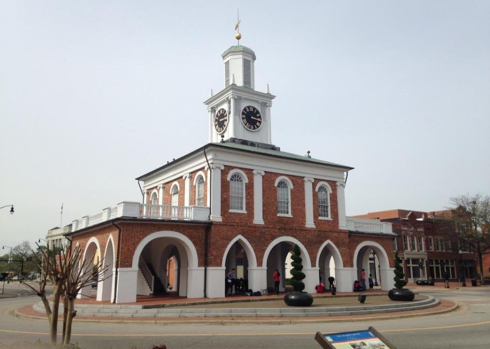
— Clarence Barker Memorial Hospital, Asheville (relatively high risk)The Market House in Fayetteville has long been a site of controversy because of its past usage as a location where enslaved people were sold, as well as the building itself having been built by enslaved people. In 2020, following the murder of George Floyd by police, protestors called for the building to be torn down. In 2020, it was discovered that FEMA did not mark a neighborhood in Fayetteville that regularly floods as a flood zone, leaving many property owners in the area with serious flood damage without access to federal assistance.
#10. Illinois
Jonathunder // Wikimedia Commons
– Historically significant buildings with risk of river flooding: 14
— State Bank, Old Shawneetown (relatively high risk)
— Ulysses S. Grant House, Galena (relatively high risk)
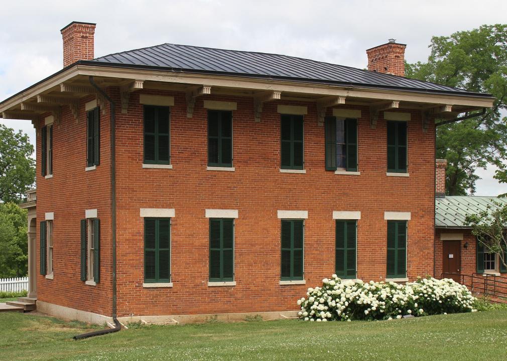
— Elihu Benjamin Washburne House, Galena (relatively high risk)The Ulysses S. Grant House was given to Ulysses Grant by citizens of Galena after his return from serving in the Civil War in 1865. Four years later, Grant would be elected president. To protect the city from near constant flooding, floodgates and a levee system were installed in the 20th and 21st centuries.
#9. West Virginia
Library of Congress
– Historically significant buildings with risk of river flooding: 16
— McDowell County Courthouse, Welch (very high risk)
— West Virginia Independence Hall, Wheeling (relatively high risk)
— Wheeling Baltimore and Ohio Railroad Passenger Station, Wheeling (relatively high risk)The West Virginia Independence Hall was the site of the 1863 West Virginia Constitutional Convention, in which Union-supporting West Virginia seceded from Confederate-supporting Virginia. West Virginia is more vulnerable to worsening floods than any other place in the country.
#8. Massachusetts
Daderot // Wikimedia Commons
– Historically significant buildings with risk of river flooding: 18
— Adams Academy, Quincy (relatively high risk)
— Thomas Crane Public Library, Quincy (relatively high risk)
— Quincy Homestead, Quincy (relatively high risk)Ranked #43 out of 150 in a poll on America’s Favorite Architecture, the Thomas Crane Library features a stained glass work called “Old Philosopher” by the artist John La Farge. Both inland and coastal areas in Massachusetts are expected to see an increase in flooding in the coming decades, as sea levels continue to rise and storms become more severe.
#7. Kentucky
JERRYE & ROY KLOTZ MD // Wikimedia Commons
– Historically significant buildings with risk of river flooding: 18
— Samuel Pate House, Lewisport (very high risk)
— Fred M. Vinson Birthplace, Louisa (relatively high risk)
— Wendover, Hyden (relatively high risk)Built in 1822, the Samuel Pate House was the site of an 1827 trial, in which Abraham Lincoln was charged with operating a ferry across the Ohio River without a license. Lincoln defended himself and won his first case as a lawyer. Though the Ohio River allowed for the development of early Lewisport as a means of transportation and commerce, it has also led to destructive floods, including one in which an entire street was claimed.
#6. New Jersey
Acroterion // Wikimedia Commons
– Historically significant buildings with risk of coastal flooding: 5
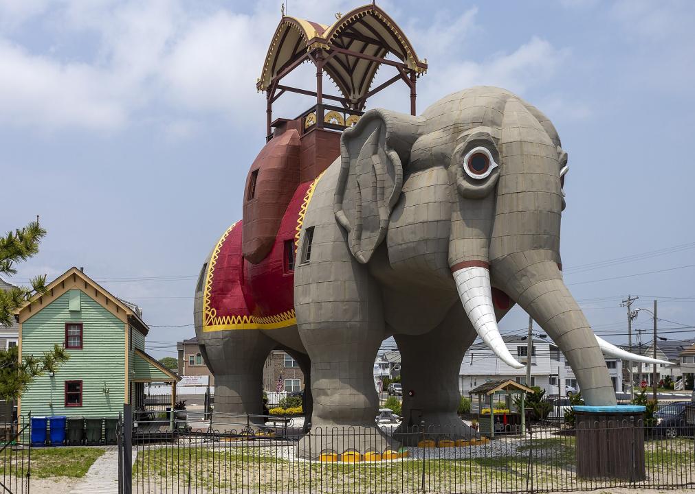
— Lucy, the Margate Elephant, Margate City (very high risk)
— Twin Lights, Highlands (relatively high risk)
— Fort Hancock, U.S. Life Saving Station, Highlands (relatively high risk)
– Historically significant buildings with risk of river flooding: 14
— Trenton Jewish Community Center Bath House and Day Camp, Ewing (very high risk)
— William Trent House, Trenton (very high risk)
— Wallace House, Somerville (very high risk)As the oldest roadside tourist attraction in the U.S., Lucy the Margate Elephant stands six stories tall, roughly five miles from Atlantic City. Built in 1882, Lucy has survived being struck by lightning, Hurricane Sandy, and plans to condemn her to demolition. Sea levels along the mid-Atlantic coast have been rising faster than in other areas, subjecting coastal areas like Atlantic City to increasingly severe flooding.
#5. Texas

Library of Congress
– Historically significant buildings with risk of river flooding: 21
— Ashton Villa, Galveston (very high risk)
— George Sealy House, Galveston (very high risk)
— Bishop’s Palace, Galveston (very high risk)Bishop’s Palace is a 19,000+ square foot Victorian castle built in 1887 for the lawyer Walter Gresham and his wife and nine children. It’s noted by the American Institute of Architects as one of the 100 most important buildings in America. In 1900, a catastrophic hurricane accompanied by a 15-foot storm surge hit Galveston, killing 8,000 people and making it the deadliest hurricane in U.S. history.
#4. Pennsylvania
National Park Service
– Historically significant buildings with risk of coastal flooding: 3
— Fort Mifflin Hospital, Philadelphia (relatively high risk)
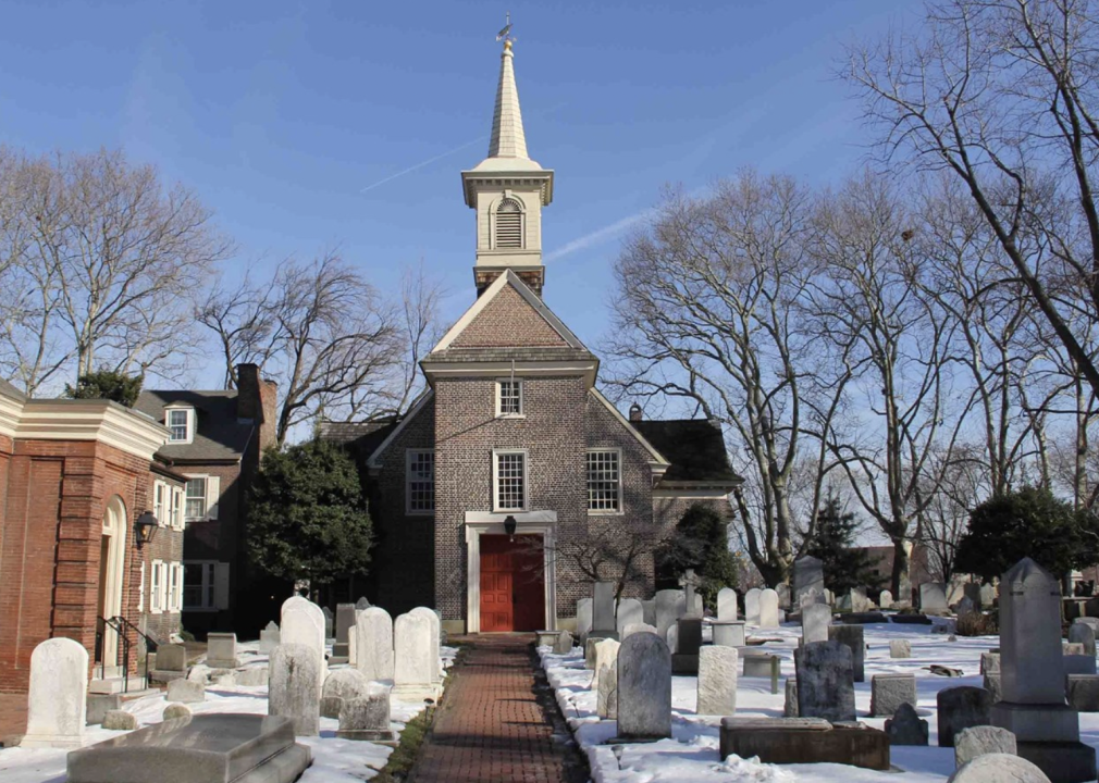
— Gloria Dei (Old Swedes’) Church National Historic Site, Philadelphia (relatively high risk)
— 1724 Chester Courthouse, Chester (relatively high risk)
– Historically significant buildings with risk of river flooding: 19
— John Harris Mansion, Harrisburg (very high risk)
— Harrisburg Central Railroad Station and Trainshed, Harrisburg (very high risk)
— Parsons-Taylor House, Easton (very high risk)Built in 1698, Gloria Dei Church (known locally as Old Swedes’) is the oldest church in Pennsylvania and the oldest congregation in continuous existence in the U.S. It is also said to be the first church in colonial America to use an organ. A reported 600,000 properties in Pennsylvania are at risk of being flooded over the next 30 years.
#3. Arizona
Stephen M.Richard // Wikimedia Commons
– Historically significant buildings with risk of river flooding: 24
— Brigham City, Winslow (very high risk)
— Gila Pueblo, Globe (very high risk)
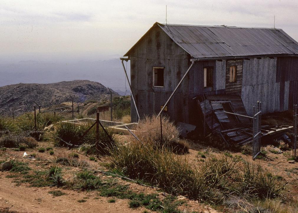
— Harquahala Peak Observatory, Wenden (very high risk)From the observatory at Harquahala Peak, one can reportedly see California, Nevada, and Mexico. The high elevation and views inspired the Smithsonian Astrophysical Observatory to build the Harquahala Peak Observatory to study the sun in 1920. Only in use for 25 years, the building is now largely deteriorated and accessible via hiking trail. Because of the high elevations of the surrounding mountains, as well as a nearby stream, the town of Wenden is susceptible to flooding.
#2. New York
JonathanRe // Wikimedia Commons
– Historically significant buildings with risk of river flooding: 28
— James C. Beecher House, Oswego (very high risk)
— 1964-1965 New York World’s Fair New York State Pavilion, Flushing (relatively high risk)
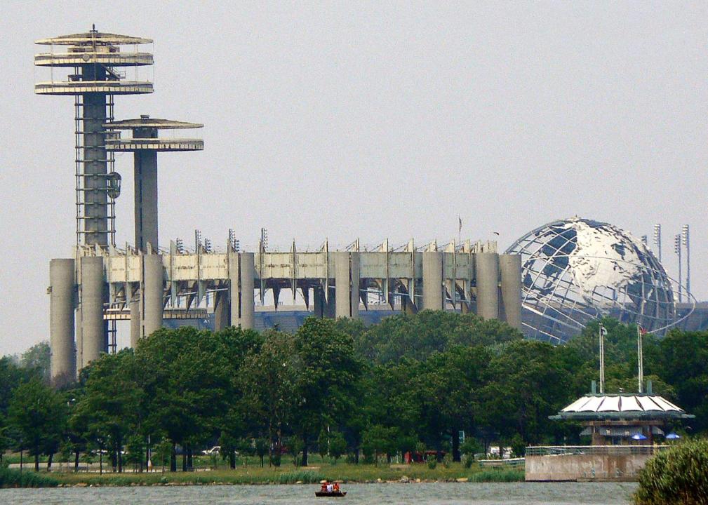
— George Westinghouse Jr. Birthplace and Boyhood Home, Central Bridge (relatively high risk)The New York World’s Fair was the largest hosted in the U.S. Its New York State Pavilion was home to the world’s largest suspension roof, and boasted three huge observation towers. In 2019, a project to restore the towers got underway, the pavilion’s first restoration effort. During 2021’s Hurricane Ida, eight people died in record-breaking Queens flooding.
#1. Florida
NASA/Cory Huston // Wikimedia Commons
– Historically significant buildings with risk of coastal flooding: 15
— Central Instrumentation Facility, Kennedy Space Center (relatively high risk)
— Headquarters Building, Kennedy Space Center (relatively high risk)
— Launch Control Center, Kennedy Space Center (relatively high risk)
– Historically significant buildings with risk of river flooding: 17
— Lindsley House, St. Augustine (relatively high risk)
— Llambias House, St. Augustine (relatively high risk)
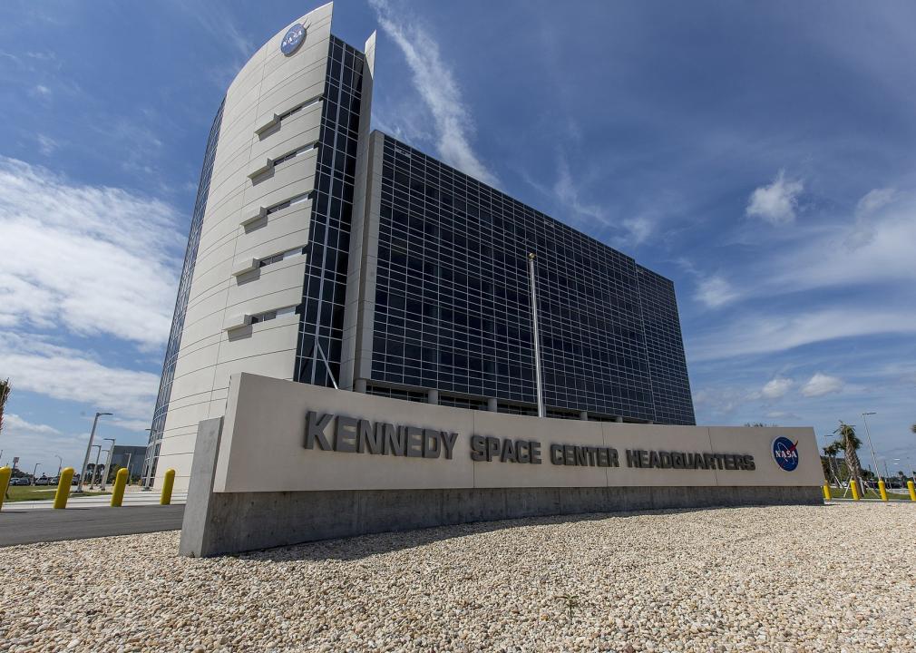
— Rodriguez-Avero-Sanchez House, St. Augustine (relatively high risk)After NASA’s founding in 1958, President John Kennedy’s 1961 Apollo Lunar Landing program spurred the purchase of land around existing launch pads at Cape Canaveral. Many of the most iconic U.S. space ventures have launched from Kennedy Space Center, including the Apollo 8 mission. Due to Cape Canaveral’s location on a barrier island, as well as rapid sea level rise due to climate change, flooding events there are predicted to increase to 80-180 days per year by the 2040s, according to NOAA.


